
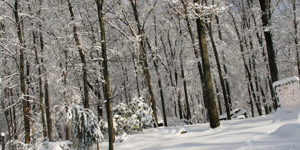
The weather was pretty unpredictable this past week. While some areas only got cold temperatures and ice, other areas had snow.
How is it possible for one area to have snow, but the neighborhood down the road does not? The answer is lakeeffect snow.
Lake-effect snow is a weather phenomenon that occurs when cold, dry air moves over a relatively warm body of water, such as a lake. As the cold air passes over the warmer water, it absorbs moisture and heat, leading to the formation of narrow bands of clouds and precipitation.
When this moisture-laden air moves over land and cools, it can result in localized, intense snowfall, often referred to as lake-effect snow. This type of snowfall is typically observed in regions adjacent to large lakes, like the Great Lakes in the United States.
Even in locations that don’t typically get snow, lake-effect snow can produce significant snowfall in a short period, leading to rapid accumulation. This can become dangerouswhentheareaisn’t prepared.
Intense snowfall can lead to whiteout conditions, making travel hazardous. Rapid snow accumulation can impact transportation, utilities, and daily activities, requiring prompt snow removal and emergency responses.
The phenomenon is typically in smaller areas. The snowfall is often confined to narrow bands, meaning one area might experience heavy snow while nearby areas see little to no precipitation.
While lake-effect snow is uncommon in North Texas, recent weather conditions have made it possible. In February 2025, an arctic blast brought freezing drizzle followed by blowing snow to portions of Grayson County, including areas around Lake Texoma.
This event led to localized snowfall and icy conditions, affecting travel and daily routines. Such occurrences are rare in this region but demonstrate that, under specific conditions, lake-effect snow can develop even in areas not typically known for it.