
A rainy spring resulted in higher than normal water levels at Lake Texoma.
Ryan Butler, head ranger for the U.S. Army Corps of Engineers Lake Texoma Project Office, said 617 feet is the level for the lake’s conservation pool.
“That is the elevation which the lake is designed to work at throughout the year,” he said. “Anything over 617 is considered in the flood pool. Up to 640 [feet] and we have full control over.”
Anything above 640 and there is an uncontrolled spillway, Butler said.
“So, what that means is once you hit 640 you have a spillway where water will uncontrollably spill over,” he said. “That’s a design feature of a lot of structures. It will spill over into Shawnee Creek and bypasses the powerhouse and [electricity] generation portion of the dam and basically discharges here below the office.”
Butler said water has gone through the uncontrolled spillway five times in the history of Lake Texoma.
“It’s not something that occurs very often,” said. “That’s why [flooding in] 2015 was such a big event.”
When Butler spoke with The Madill Record on June 24, the elevation pool was at 626.36 feet.
At press time, the most recent report from Butler’s office was dated June 29. The June 29 elevation was 624.18 feet.
“We’re on a downward trend right now. We’re dropping three to four inches every twenty-four hours.”
Campground closures
Butler said his office manages 11 campsites around Lake Texoma. They are Buncombe Creek, Caney Creek, East Burns Run, Juniper East, Juniper West, Lakeside, Platter Flats, Johnson Creek, Preston Bend, Texas Damsite and West Burns Run.
Butler said the higher elevation will cause some campground closures.
“We really don’t see a lot of campground closures until we hit about 620,” he said. “We start closing down low certain area. Lakeside Campground has a low E-loop that closes at 620.50.
Butler said West Burns Run opened back up the week of June 24.
“It is one of our most popular campgrounds on the lake,” he said. “There are 119 camping spots at West Burns Run.”
Although the water level has come down, some campsites remain closed through Monday, July 15. Butler said those sites are East Burns Run, Juniper East and Lakeside.
“A majority of those campsites at Lakeside are under water,” Butler said.
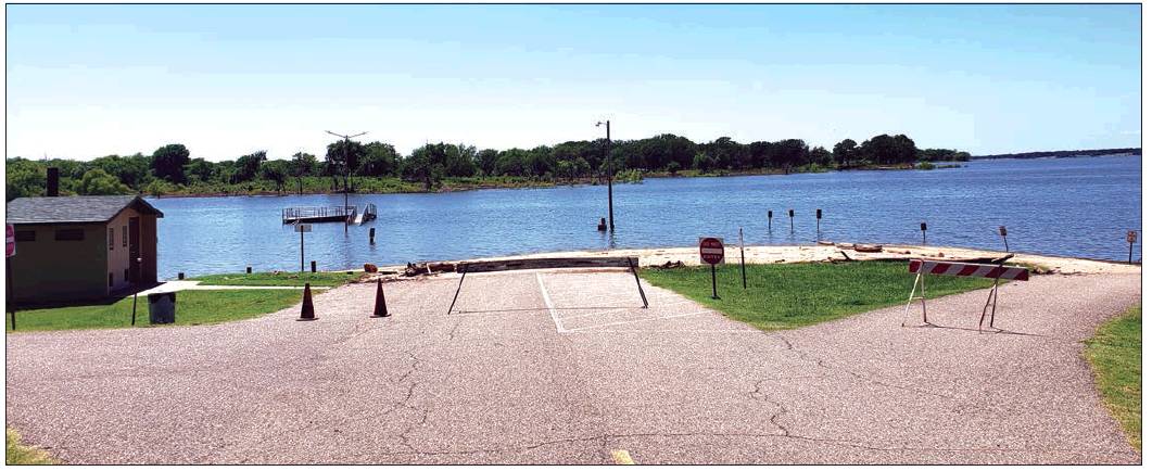
Butler said many of the Corps’ boat ramps remain closed due to water elevation.
As of June 29, those ramps located at Buncombe Creek, Johnson Creek, Preston Bend and West Burns Run.
For more information on contact the U.S. Army Corps of Engineers Lake Texoma Project Office at (903) 465-4990.